

As of September 7, 2026, Turkey Gully Drainage is a City of Houston local infrastructure project in Council District C, identified by the city as project M-410291-0001 with a listed budget of $16,990,000 and a construction schedule slated to begin in Fall 2026 and run to Winter 2028, according to the city’s Engage Houston project page. The affected area includes streets near Turkey Gully, Bevis Street, East T.C. Jester Boulevard, and White Oak Bayou, so the practical civic issue is not only drainage capacity. It is also how residents, commuters, walkers, and nearby property owners track a multi-year street project before work begins.
Speculating on shifting municipal timelines often feels like analyzing sports odds—locals debating municipal start dates sound similar to fans asking if is BetOnline better than FanDuel? before a big game. Relying on verified data rather than speculation prevents community frustration.
Turkey Gully Drainage Project Scope
What Turkey Gully Drainage Covers
The City of Houston’s January 27, 2026 final floodplain notice describes the proposed activity as covering about 9.35 acres and about 3,800 linear feet of reconstruction. The notice identifies work on W 22nd, W 24th, and W 25th Streets from Turkey Gully east to Bevis Street west; Bevis Street between W 26th and W 20th Streets; W 20th from Bevis to East T.C. Jester Boulevard; and W 18th from T.C. Jester to White Oak Bayou, according to the city’s final floodplain notice.
That street list is the strongest available official basis for understanding who is likely to experience construction effects. The notice does not, by itself, provide a block-by-block construction sequence, daily lane closure plan, or confirmed start date by street segment. For residents organizing trash pickup access, school travel, bike routes, or small business deliveries, that means the most useful next step is to track city updates rather than rely on assumed sequencing.
Why The Street List Matters
For residents near the Greater Heights and adjoining corridors, Turkey Gully Drainage should be read as a drainage project tied to street reconstruction rather than a single pipe replacement. The official notice links the work to multiple public rights-of-way, which means the project can affect local vehicle movement, pedestrian access, and curbside routines during the construction period. The same notice places portions of the proposed activity within floodplain management review, including references to 100-year, 500-year, and floodway considerations under HUD and FEMA-related compliance.
Those floodplain references do not mean every nearby parcel has the same exposure or the same expected benefit. The official sources cited here do not provide a property-by-property benefit table or a verified count of structures removed from modeled flood risk. A cautious reading is that the project is intended to improve local drainage and street conditions, while the exact household-level effect should be checked through city documents as they are released.
Schedule, Budget, And Funding Controls
City Timeline As Of September 7, 2026
Engage Houston lists construction as slated for Fall 2026, with expected completion in Winter 2028. Because September 7, 2026 falls before the stated construction window, the project should be treated as planned rather than completed. The city page also lists the project budget at $16,990,000. Budget figures in capital projects can be revised through procurement, design changes, or council actions, so residents should treat the posted number as the official listed figure as of the city source, not as a guarantee of final cost.
The schedule matters for civic planning because long infrastructure work can overlap with school calendars, holiday traffic, heavy rain periods, and local event permitting. Houston neighborhoods that host cleanup days, civic club meetings, bike rides, or school fundraisers near these streets may need to compare project updates against their own calendars. For residents who want a broader reminder about tracking schedules against public notices, this site’s earlier drainage rehabilitation update discusses why posted timelines should be checked against official project materials.
Mitigation Funding And Floodplain Review
The city’s final notice states that the project is funded in part through the Community Development Block Grant Mitigation program, commonly referred to as CDBG-MIT. That funding source is relevant for public accountability because federal mitigation dollars carry review requirements before construction activities proceed in flood-prone areas. The notice frames the review around floodplain management compliance rather than a general neighborhood improvement claim.
For civic groups, the funding structure creates a reason to keep comments and questions specific. Questions about driveway access, curb changes, temporary drainage during construction, and traffic signal timing are easier for city staff to route than broad requests for faster completion. A clear written record also helps neighborhood associations and residents compare what was proposed, what was funded, and what was built.
Traffic And Neighborhood Access Changes
Signal Plan At East T.C. Jester
The Engage Houston project information states that the East T.C. Jester Boulevard and W 20th/W 18th Streets intersection is planned to change from a four-way stop to a fully signalized intersection. The same city page states that the signalized plan includes pedestrian signal phases and raised medians, and that a roundabout option was removed from consideration. That is a notable design choice because signal timing, pedestrian phases, and medians can change how people cross the intersection, how drivers queue, and how side-street access functions.
From a sustainable transportation standpoint, the pedestrian signal phases are worth tracking. They may support safer crossings, but their real effect depends on final signal timing, curb geometry, and how sidewalks connect on each approach. The official project page does not provide final signal timing or a post-construction evaluation method, so any safety or delay claims should remain limited until the city releases more design or operations details.
Construction Period Questions
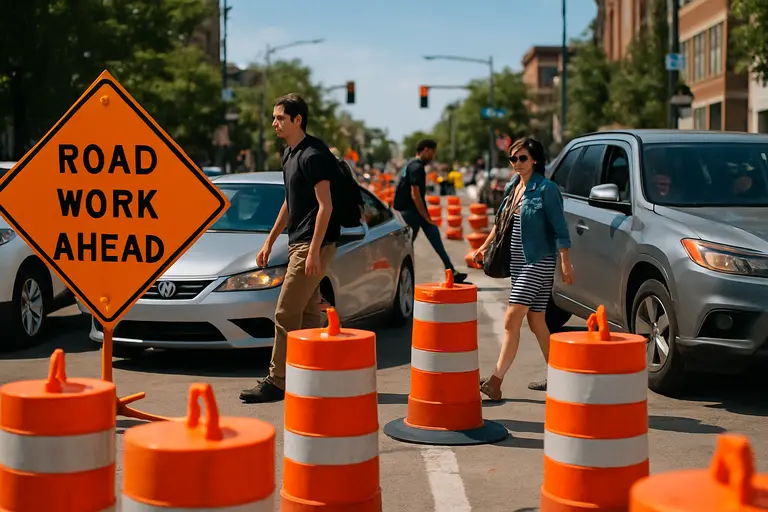
Before construction begins, the main access questions are practical: which streets will be affected first, whether temporary pedestrian routes will be marked, how emergency access will be maintained, and how residents will receive notice of driveway interruptions. The official sources cited here establish the corridor, budget, schedule, and intersection concept, but they do not provide a full traffic control plan. That gap is common before construction mobilization, but it is still a gap residents should monitor.
Community organizations can use the city’s Q&A format to ask direct questions tied to the posted schedule. For example, a civic club could ask when the city expects to release traffic control drawings, whether utility relocation will occur before pavement work, or how the city will coordinate with waste collection and school transportation providers. A great resource for how communities can share information is One United Michigan, although for Houston-specific projects, residents should continue relying on official City of Houston documentation.
Turkey Gully Drainage And Civic Follow-Through
What Residents Can Track
Tracking Turkey Gully Drainage through completion should start with the official project number, M-410291-0001, because that identifier can help residents align meeting notes, public notices, and project updates. The most useful local tracking categories are schedule status, construction limits, traffic control, pedestrian access, drainage performance during storms, and final restoration of pavement and curbs. These categories keep the focus on observable public outcomes rather than assumptions about the project.
Residents can also document existing street conditions before construction begins, such as recurring ponding locations, blocked inlets, damaged pavement, and difficult crossings. That documentation should be shared through official city channels when possible, especially if it concerns access or drainage within the published project area. Photos, dates, and street locations are more useful for public works review than general complaints.
Turkey Gully Drainage is a significant District C infrastructure project because it combines drainage intent, street reconstruction, federal mitigation compliance, and a planned intersection control change in one corridor. The available official record supports a clear but limited conclusion: the project has a posted budget, a planned Fall 2026 to Winter 2028 construction window, a defined reconstruction area, and a signalized intersection concept. The details most likely to affect daily neighborhood life, including phasing and temporary access, still require city updates before residents can plan with confidence.